Integrated marteloscopes virtual tour

Introduction
Introduction
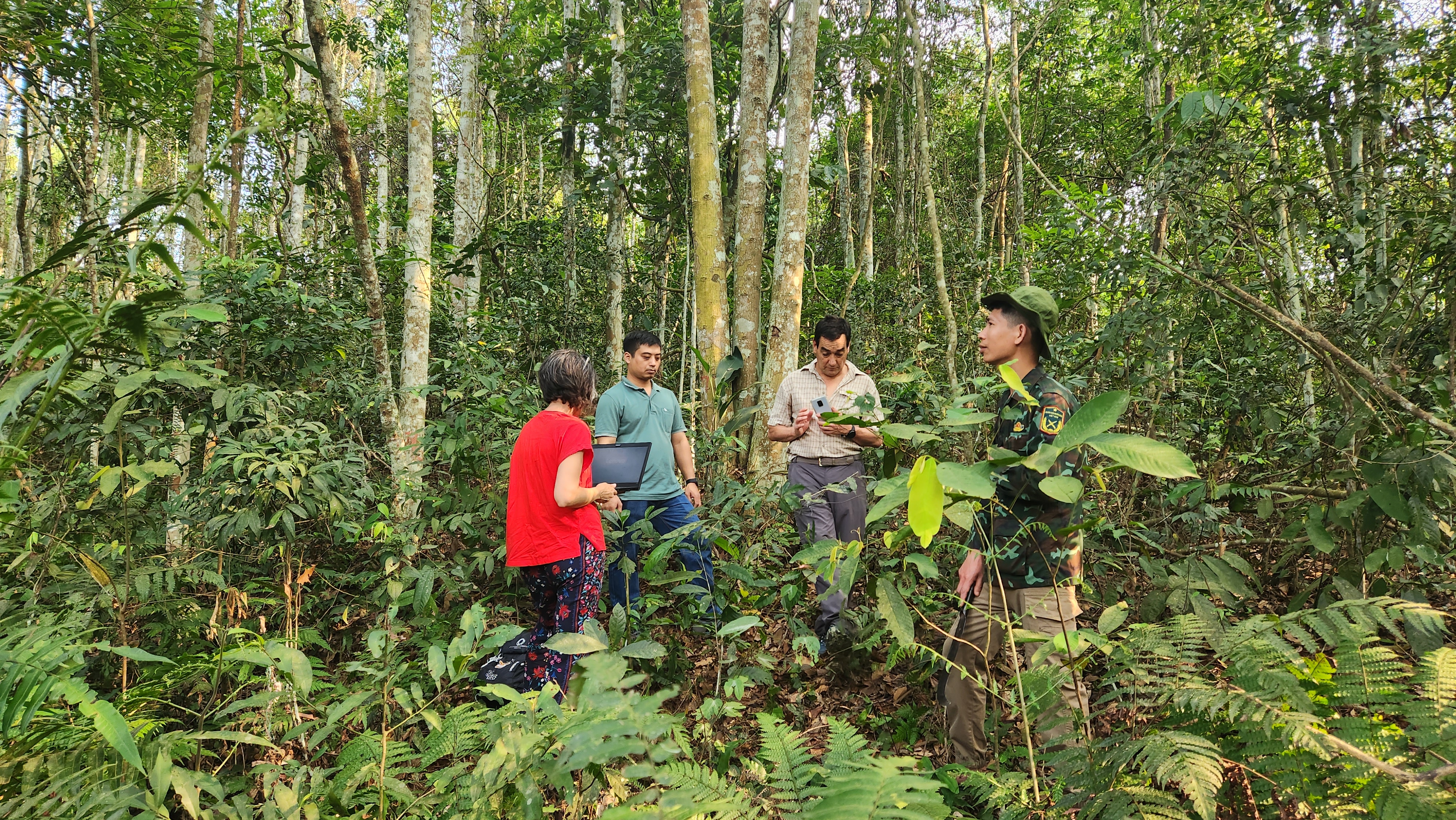
“Marteloscopes are forest areas with mapped, numbered, and classified trees used for forestry training. They offer opportunities for ubiquitous learning, combining virtual and physical experiences. By using mobile devices and Augmented Reality (AR), students can access and visualize data in both virtual and physical marteloscopes. The VirtualForests Strategic Partnership aims to apply technology for easily managing such learning situations. The project will create virtual tours hosted on accessible platforms like Google Maps, enabling worldwide access. This approach facilitates learning about sustainable forest management, considering biodiversity and economic value through frameworks like Tree Microhabitats (TreMs). Virtual visits allow analysis of tree habitat and economic worth.”
DIDACTIC APPROACH
DIDACTIC APPROACH
“The project aims to create a protocol for virtual forest tours, focusing on simplicity, free software, and flexible usage. Complex tours offer asynchronous teaching options, but face limitations. Panoramic images hosted on Google Maps form the core, combined with complementary information and videos. The protocol allows for flexible teaching approaches and can be replicated for other subjects.
GUIDELINES
GUIDELINES
Welcome to the “Virtual Tour Creation Manual”, a comprehensive guide to designing integrated marteloscopes virtual tours. This document serves as a practical resource, providing guidelines for creating immersive and engaging virtual tours of integrated marteloscopes for educational purposes.
VIRTUAL FORESTS VIRTUAL TOURS PRESENTATION
VIRTUAL FORESTS VIRTUAL TOURS PRESENTATION
PHOTOS
PHOTOS


